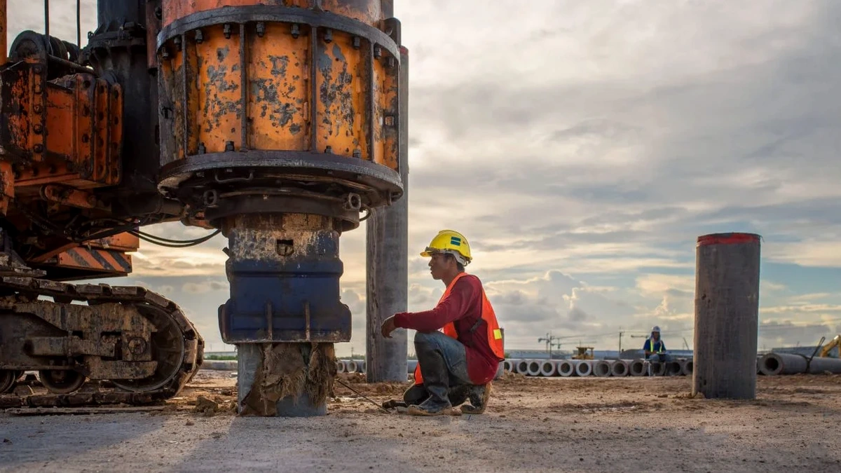
Barnsley sits on a varied mix of Coal Measures strata and glacial till that makes generic seismic assumptions risky. The Pennine fringe geology, with its layers of sandstone, mudstone, and old colliery backfill, can throw up VS30 values that change dramatically across a single site. For any structure taller than two storeys, or for critical infrastructure near the Dearne Valley, knowing the actual shear wave velocity isn't optional—it's what keeps your foundation design grounded in reality. Our MASW surveys map the stiffness profile to 30 metres without drilling, giving you the site class you need for Eurocode 7 compliance. When the profile reveals soft clays or uncompacted fill, pairing the data with an SPT drilling campaign firms up the ground model with real N-values at depth.
A MASW survey costs a fraction of a borehole campaign and gives you the VS30 value that Eurocode 8 needs for seismic design—usually in a single morning on site.
Local ground factors
The Coal Authority’s interactive map shows roughly 60% of Barnsley borough sits on or near former mining workings. When unrecorded shallow pits or bell pits were backfilled with whatever was at hand—ash, colliery spoil, building rubble—the resulting ground is heterogeneous and compressible. A low VS30 from MASW in these zones flags a potential site class E, which under Eurocode 8 means amplified seismic demand on the structure. The cost of ignoring this shows up later: overdesigned foundations that eat into the budget, or worse, an underdesigned frame that struggles with serviceability. Our team has worked on sites from Cudworth to Dodworth where the VS30 varied by over 100 m/s in less than 50 metres of lateral spread, and the only way to catch that was a properly executed surface wave survey tied to a couple of verification boreholes.
Quick answers
How much does a MASW survey in Barnsley cost?
For a standard single-spread MASW survey in the Barnsley area, budget between £1,260 and £2,820 depending on site access, line length, and whether refraction is added. We provide a fixed-price quote after reviewing the site location and your structural engineer's requirements.
Can MASW be used on a sloped site in Barnsley?
Yes, within limits. The standard analysis assumes a horizontal layering, so on slopes steeper than about 10 degrees we apply topographic corrections and may adjust the array orientation to run along the contour. For very steep sites near the Pennine edge, a combined approach with downhole seismic in a borehole is sometimes more appropriate, and we will advise on that during the site walkover.
What is the difference between MASW and a borehole for site class?
A borehole gives you soil description and SPT N-values at discrete depths, and you can derive VS from correlations—but correlations carry uncertainty. MASW directly measures shear wave velocity from surface waves, giving a continuous VS profile and a VS30 value that doesn't rely on empirical tables. The two methods are complementary: boreholes confirm the geology, MASW nails down the stiffness.
How long until we get the report after the survey?
Typical turnaround is five working days. The report includes the dispersion image, the inverted VS profile, the VS30 calculation, and the corresponding site class letter per BS EN 1998-1. If you need it faster for a planning deadline, let us know when you book—we can often turn it around in three days.